
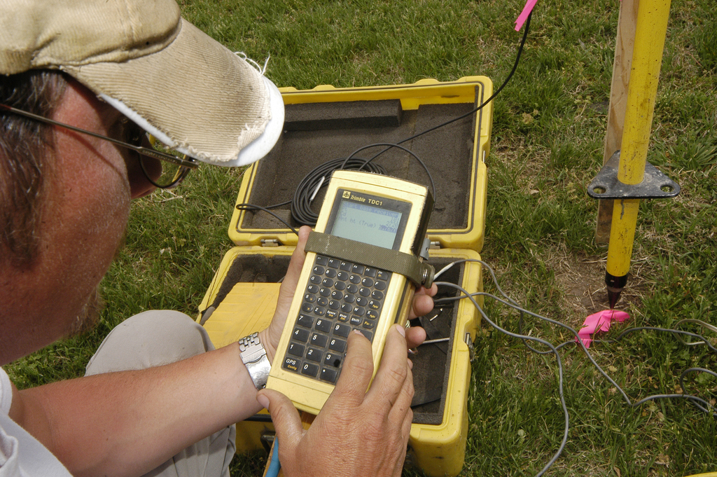
Caruthersville, MO 4-14-06 Chuck Clark, a contractor with the Army Corps of Engineers uses a GPS receiver to map land that is being developed for temporary housing in Caruthersville, MO. Photo by Patsy Lynch/FEMA
Caruthersville, MO 4-14-06 Chuck Clark, a contractor with the Army Corps of Engineers uses a GPS receiver to map land that is being developed for temporary housing in Caruthersville, MO. Photo by Patsy Lynch/FEMA